
Soon, we will be surrounded by a lot of drones flying in the sky, clicking pictures and delivering the goods we desire. Since, the scientist is trying to develop an air traffic control system for drones at Nanyang Technological University (NTU) in Singaporean airspace, discovering the ideas such as designated flight lanes, geofencing and ground station that track all airborne UAVs.
It is obvious that NTU isn’t such alone institution which is dealing with the idea this fundamental to the success of drone industry. There are a lot of institutions tackling the idea like NASA and in Australia, USA and Canada which have projected system that might assist drones to amalgamate into urban airspace.
Talking about the US, the Federal Aviation authorities have been imposed strict laws, result– the slowly-adapting spike on Amazon’s side because it pushes to get its delivery off the ground. For maintaining itself on the top among other institutions, NTU has borrowed some of these ideas to develop new ones; therefore it is studying how they can fit the needs of Singapore and the Asia Pacific regions in general.
According to Professor Low kin Huat, lead researcher of the project said “ we have already demonstrated viable technologies such as UAV convoys, formation flying and logistics, which will soon become mainstream. He further said, “This new traffic management project will test some of the new concepts developed with the aim of achieving safe and efficient drone traffic in our urban airways.”
What is the idea behind?
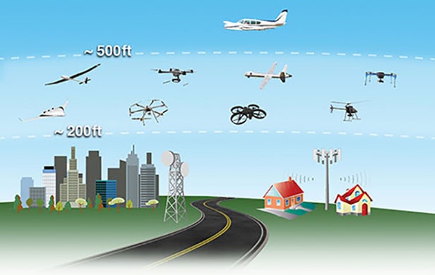
The entire system will be made of selected take off and landing zones as once the drones are in the air, they would be directed along particular corridors, building an invisible system of roads in the space. Thin-skinned locations like airports and power station could be geofenced off so that the technology will prevent roaming UAVs from taking any risky shortcuts. This is a very effective system which can monitor and adjust aerial traffic assuring you that drones are flying where they are supposed to, at the accurate pace.
What will technology expert develop?
Currently, the technology is not according to the task of implementing these ideas into practice yet. Therefore, the aim of experts is to research and develop drone system which may tackle smart and safe path-finding and also protect themselves from collision to each other.
What’s the challenge?
Experts have a bigger challenge in setting up a system like this as it might be the legal and safety issues that arise. To implement it, the team is running a computer simulation of numerous scenarios to find out the safest and most competent routes, altitudes and emergency procedures.
What do experts say?
“We will also look into proposing safety standards, for instance how high UAVs should fly and how far they should be flying above buildings, taking privacy concerns and laws into consideration, and to suggest recommended actions during contingencies,” says co-investigator, Mohamed Faisal Bin Mohamed Salleh.
The concept and recreation phase of the four-year project is likely to complete by the end of 2017 and also will start testing of new UAVs developed for the system from the same year.
You can get information about recent technology at https://ferasantoonreports.com